Intersect Operation
Computes the geometric intersection between two layers.
The Intersect Operation takes the features from two source vector layers and computes the intersection between their feature geometries, storing the result on a Result Layer. If the Source Layer has features selected, the operation will be performed against them, otherwise, the Features from the whole Layer will be used. The Source Layers are not modified by any means. A new Target Layer is created by default, or the user can specify an existing editable vector Layer where to store the results.
Sample Usage
The Intersect Operation works over the selected features of the desired layers, or over the whole layers if no selection is set.
On this example, we’ll start by selecting a single Feature from one of the layers of interest, as shown in Figure 1.
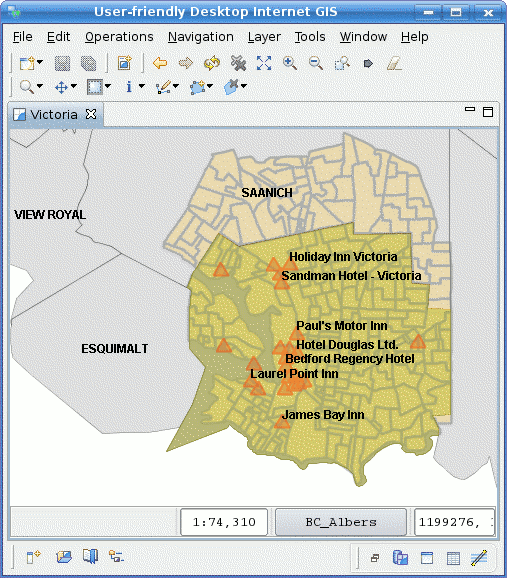
Figure 1. Limit operation scope with selection
Go to the Spatial Operations View, and select Intersect from the Operation drop down.
The Intersect Operation’s specific input options will show up (Figure 2).
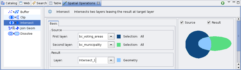
Figure 2. Intersect Operation controls
Select the Source Layers
On the Source select the Layers to intersect from the First Layer and Second Layer drop down lists. By default, the currently selected Layer in the Layers View will be chosen for you for the First Layer option.
Select the Result Layer
The Result Layer drop down list will contain a proposed Layer name for the Layer to be created to hold the operation’s results. You can leave it as is, type another Layer name, or select an existing Layer from the Result Layer drop down. In the later case, the operation’s result will be stored on the selected Layer.
Perform the operation
Press the Perform button from the View’s tool bar and the operation will begin and the operation’s progress will be shown up on a progress dialog, as shown in Figure 3. The operation may take a while to complete, depending on the amount and complexity of the input geometries.
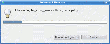
Figure 3. Progress Dialog
Once the Operation completes, if a new Layer were created to hold the result, it will be automatically added to the current Map.
Figure 4 shows the newly created Layer (Intersect-1, in green) added to the map, with the intersecting feature from the selected Municipality and the Voting Areas Layer.

Figure 4. Operation’s Result